Skip to content
Earth Imaging: Signals & Algorithms

Earth Imaging: Signals & Algorithms

Tolulope Olugboji (Principal Investigator)

Menu

  • Home
  • Research @ URseismo
    • Publications
    • Projects @ URSeismo
    • Recorded Talks
      • Past (Map)
    • Software
    • Open Data
  • People
    • Current Members
    • Interns/Alumni
    • Collaborators
  • Outreach & Education
    • Educational Outreach
      • NSF Eager (Lightboard Lectures)
    • Courses (Rochester)
    • Teaching Philosophy
    • Resume
  • News/Press
  • Contact
Launch YoUR Career @UR

Launch YoUR Career @UR

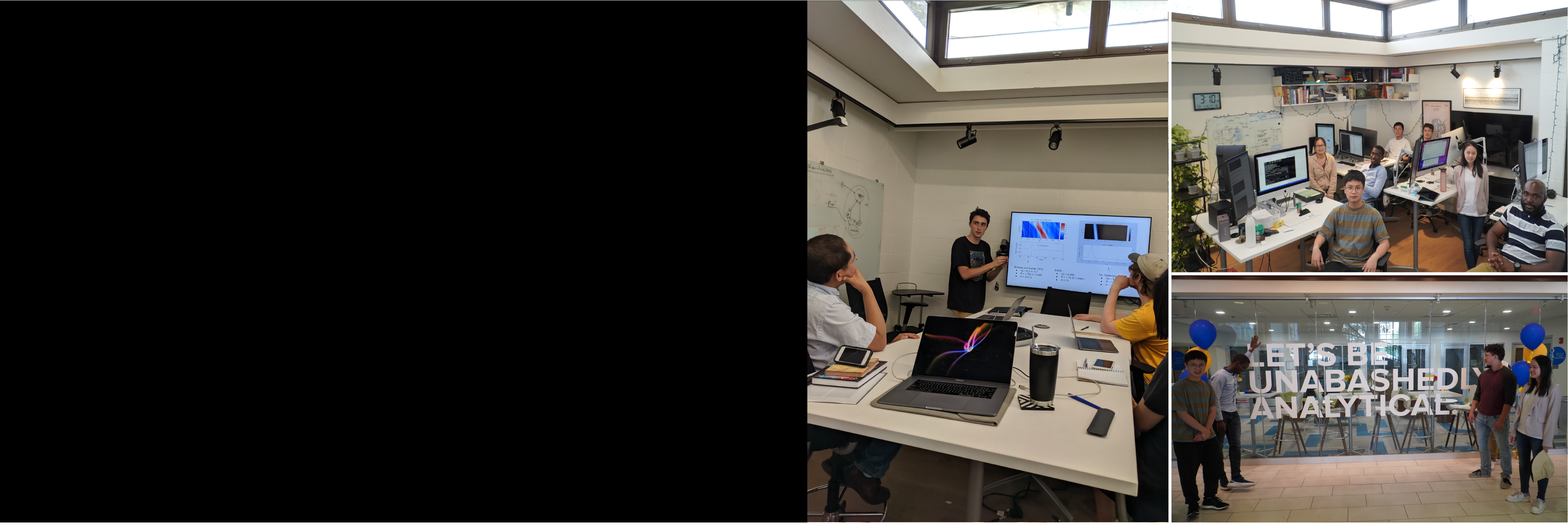
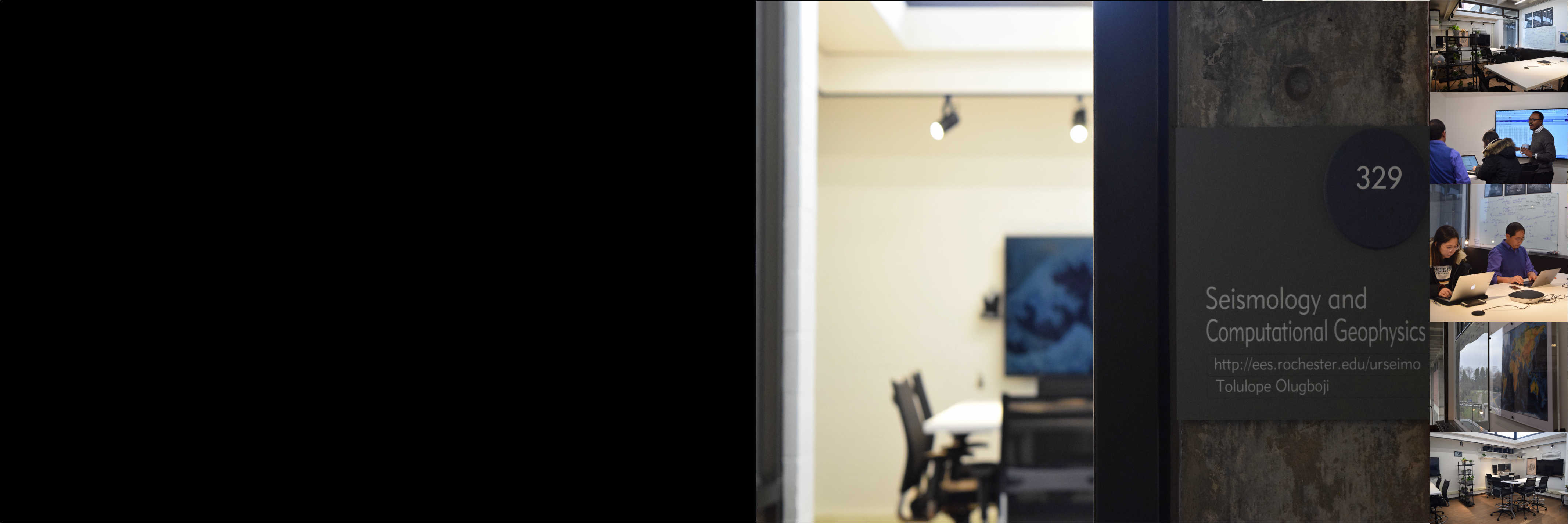
The Olugboji Earth imaging lab uses our planet’s vibrations to understand its internal anatomy and trace its dynamic history. This involves conducting planetary imaging using novel algorithms that enable Earth exploration. Our group comprises earth scientists, electrical engineers, computer and data scientists. Our research spans the entire globe and out to Mars. To discuss research interests please come up with creative ideas that overlap with current research themes before scheduling a meeting.

Projects @ URSeismo
Earth Imaging with Ground Vibration

Earth Imaging with Ground Vibration

Our research integrates innovative algorithms and large datasets, leveraging high-performance computing. We focus on: Global ocean structure, crust and mantle imaging, probabilistic deconvolution, Earth imaging with AI, Mars crustal structure, global Earth modeling with large arrays, noise monitoring, signal reconstruction, stress modeling with earthquakes, and machine learning on vast datasets. These efforts advance Earth system science, offering new insights into terrestrial and planetary structures.

Research @ URSeismo
Learn about our Dynamic Planet

Learn about our Dynamic Planet

Our courses equip students with the knowledge and skills to tackle pressing global challenges. Earth imaging and remote sensing uncover the planet's details and reveal natural hazards like severe weather, landslides, and tsunamis. Topics such as signal estimation and earthquake detection enhance early warning systems. Enroll in Nature’s Fury, Data Analysis, Earth Imaging, and Signal Processing, available for all levels. Check our listings for available courses today!

Courses @ URSeismo
We are Open for Science

We are Open for Science

Our people, space, and collaborative culture drive innovation in science! We are Open for Science with a modern computing lab featuring teleconference capabilities, dedicated spaces for research and software development, and multi-core, dual-display iMacs. Leverage advanced high-performance computing with GPUs and hundreds of compute cores. Navigate to the ‘people’ section to learn about our team and their current projects. Join us in advancing scientific exploration!

Facilities @ URSeismo

Talk at Princenton

Talk at Princenton

I gave a talk at Princeton on my research project titled The Composition of the US Continental Crust: A Transdimensional Approach It was great to interact with the entire department.

Tolulop Olugboji April 10, 2015 Uncategorized No Comments Read more

Field Research is MAGIC

Field Research is MAGIC

Some photos from the field with the MAGIC team.  

Tolulop Olugboji January 24, 2013 Uncategorized No Comments Read more

Exploring the Pacific

Exploring the Pacific

Here is a throw-back to the research cruise to the Shatsky rise in the  Northwest Pacific. I have not ventured out tot he open sea since then, but I have continued to work on data from stations deployed on the sea-floor bottom and

Tolulop Olugboji August 24, 2012 Uncategorized No Comments Read more
  • Next »

URSeismo @IEEE-CISA

weeks
0
-2
days
0
-6
hours
-1
-8
minutes
-3
-7
seconds
-2
-5

Upcoming Events

@JournalClub | @GrpMtg

Seismic Network

S1: Hutchison Hall Basement
S2: Webster, Lake Ontario

Google Maps Multiple Markers

Recent Posts

  • Speed Meets Signal: Noise Algorithm Debuts at Earthscope
  • Celebrating Dr. Zhang (1st PhD student)
  • Waves and Water: Carr’s Second Strike in Seismology
  • Paper Alert (SHARP-SS): A Clearer View into Earth’s Mantle with Seismic Waves
  • Tolulope Olugboji Appointed Associate Editor of Surveys in Geophysics

Recent Comments

    Featured Downloads

    • Introduction to Seismology (20182 downloads )
    • UR Onboarding (139845 downloads )

    Categories

    • Uncategorized

    Contact Information

    Follow Link to Schedule A Meeting Rochester | NY | USA Office: Hutchison 224B Lab: Hutchison 329 Phone: (585) 3276-6609 Fax: (585) 244 5689 Email: tolulope dot olugboji at rochester dot edu Lab: UR Seismology Laboratory Site: ees.rocheseter.edu/urseismo

    News/Press

    • Speed Meets Signal: Noise Algorithm Debuts at Earthscope
    • Celebrating Dr. Zhang (1st PhD student)
    • Waves and Water: Carr’s Second Strike in Seismology
    • Paper Alert (SHARP-SS): A Clearer View into Earth’s Mantle with Seismic Waves
    • Tolulope Olugboji Appointed Associate Editor of Surveys in Geophysics

    RSS USGS: Big Quakes Past Month

    • M 6.5 - 89 km ENE of Angoram, Papua New Guinea
    • M 5.8 - 5 km S of İçmeler, Turkey
    • M 6.2 - 64 km SE of Emporeío, Greece
    • M 6.3 - 16 km NNE of Paratebueno, Colombia
    • M 6.4 - 45 km SW of Diego de Almagro, Chile

    RSS Earthscience News

    • Fossil corals point to possibly steeper sea level rise under a warming world
    • Ocean acidification may have crossed 'planetary boundary' five years ago
    • Increased forest fires due to climate change could alter oceanic CO₂ absorption
    • Study finds airborne particles can reduce cyclone intensity in early stages
    Copyright © 2025 Earth Imaging: Signals & Algorithms. All rights reserved. Theme Spacious by ThemeGrill. Powered by: WordPress.