Skip to content
Earth Imaging: Signals & Algorithms

Earth Imaging: Signals & Algorithms

Tolulope Olugboji (Principal Investigator)

Menu

  • Home
  • Research @ URseismo
    • Publications
    • Projects @ URSeismo
    • Recorded Talks
      • Past (Map)
    • Software
    • Open Data
  • People
    • Current Members
    • Interns/Alumni
    • Collaborators
  • Outreach & Education
    • Educational Outreach
      • NSF Eager (Lightboard Lectures)
    • Courses (Rochester)
    • Teaching Philosophy
    • Resume
  • News/Press
  • Contact
Launch YoUR Career @UR

Launch YoUR Career @UR

The Olugboji Earth imaging lab uses our planet’s vibrations to understand its internal anatomy and trace its dynamic history. This involves conducting planetary imaging using novel algorithms that enable Earth exploration. Our group comprises earth scientists, electrical engineers, computer and data scientists. Our research spans the entire globe and out to Mars. To discuss research interests please come up with creative ideas that overlap with current research themes before scheduling a meeting.

Projects @ URSeismo
Earth Imaging with Ground Vibration

Earth Imaging with Ground Vibration

Our research integrates innovative algorithms and large datasets, leveraging high-performance computing. We focus on: Global ocean structure, crust and mantle imaging, probabilistic deconvolution, Earth imaging with AI, Mars crustal structure, global Earth modeling with large arrays, noise monitoring, signal reconstruction, stress modeling with earthquakes, and machine learning on vast datasets. These efforts advance Earth system science, offering new insights into terrestrial and planetary structures.

Research @ URSeismo
Learn about our Dynamic Planet

Learn about our Dynamic Planet

Our courses equip students with the knowledge and skills to tackle pressing global challenges. Earth imaging and remote sensing uncover the planet's details and reveal natural hazards like severe weather, landslides, and tsunamis. Topics such as signal estimation and earthquake detection enhance early warning systems. Enroll in Nature’s Fury, Data Analysis, Earth Imaging, and Signal Processing, available for all levels. Check our listings for available courses today!

Courses @ URSeismo
We are Open for Science

We are Open for Science

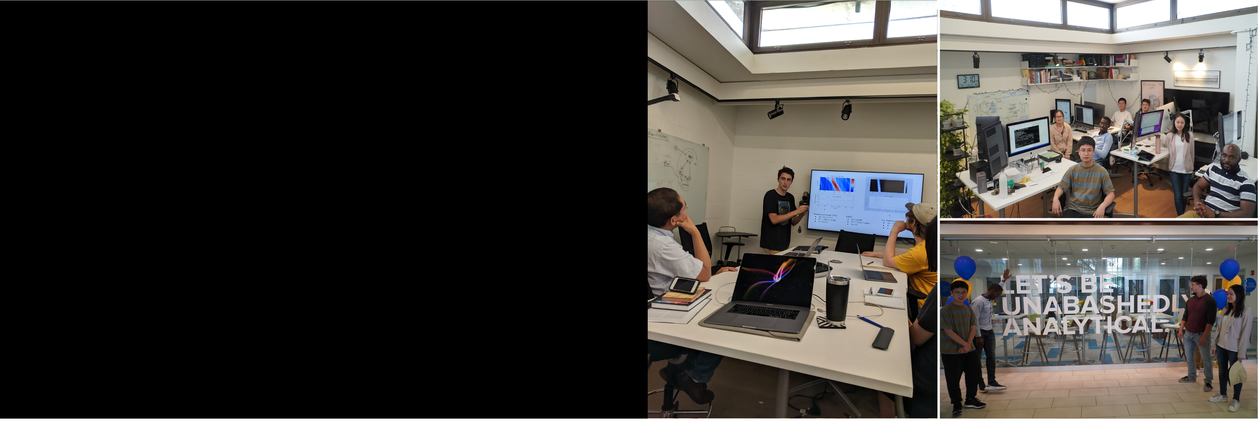
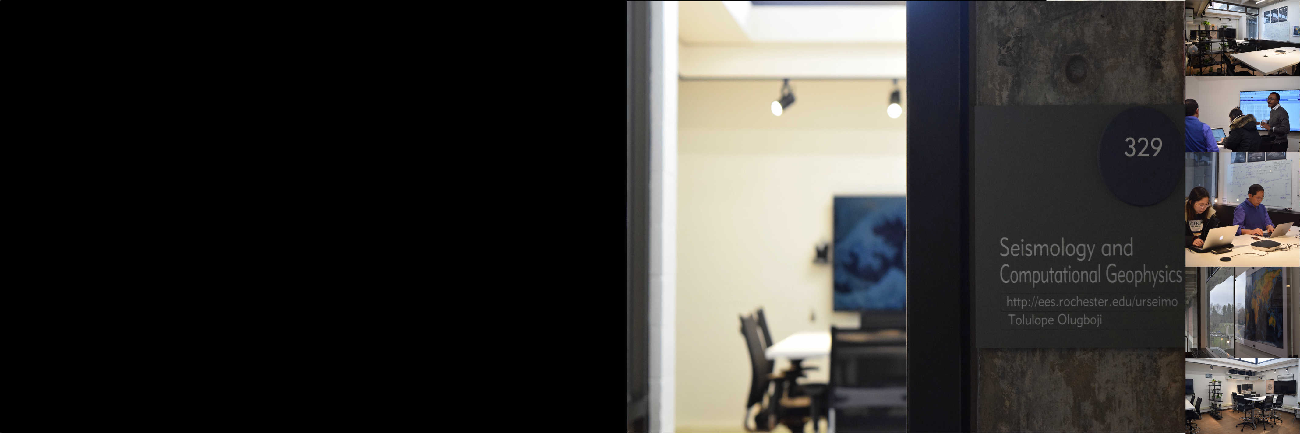
Our people, space, and collaborative culture drive innovation in science! We are Open for Science with a modern computing lab featuring teleconference capabilities, dedicated spaces for research and software development, and multi-core, dual-display iMacs. Leverage advanced high-performance computing with GPUs and hundreds of compute cores. Navigate to the ‘people’ section to learn about our team and their current projects. Join us in advancing scientific exploration!

Facilities @ URSeismo

2 Invited Talks at AGU

2 Invited Talks at AGU

Plates, lithosphere, oceans, scattered seismic waves. Presenting my 2nd invited #AGU16 pic.twitter.com/3m1AoDI5hs — Tolulope Olugboji (@tolumorayo) December 15, 2016

Tolulop Olugboji January 5, 2017 Uncategorized No Comments Read more

A night of Earthscope at the GSW

A night of Earthscope at the GSW

Tonight, I presented my research at the Geological Society at Washington (Cosmos Club, #GSW). I was joined by the seismology group at the University of Maryland – Prof. Ved Lekic and Dr. Scott Burdick. The meeting was attended by geologists and

Tolulop Olugboji September 22, 2016 Uncategorized No Comments Read more

AfricaArray Meeting at IRIS DC

AfricaArray Meeting at IRIS DC

I attended an IRIS workshop on expanding community involvement in AfricaArray. This meeting discussed the overview of the AfricaArray and was led by Andrew Nyblade. The goal was to outline new operation and management models that will improve AfricaArray’s foundational

Tolulop Olugboji August 19, 2016 Uncategorized No Comments Read more

Computational Geophysics Workshop @ Princeton

Computational Geophysics Workshop @ Princeton

I attended the computational geophysics workshop at Princeton (Mar 14-15, 2016). The workshop introduced participants to SPECFEM2D, SPECFEM3D_Globe and SPECFEM3D_Cartesian [workshop link here]. These research tools are useful for full waveform modeling and inversion of the seismic wave-field. The capabilities to visualize wave-field propagation

Tolulop Olugboji March 17, 2016 Uncategorized No Comments Read more

Two papers published in Gcubed

Two papers published in Gcubed

A great start to the year! Two of my papers have successfully passed through the peer-review process. Both provide new seismological constraints on the crust underneath Pacific Ocean-islands and across the lithosphere-asthenosphere underneath normal oceanic sea- floor [posted on mantle-plumes.org].  Visit

Tolulop Olugboji March 13, 2016 Uncategorized No Comments Read more

A return to Nigeria and an AfricaArray station

A return to Nigeria and an AfricaArray station

Today, Monday, March 7, 2016 ( ~ 8 years after graduating) I made a visit to my undergraduate institution in Ife Nigeria. Even more exciting, I got a personal tour of the IFE seismic station, one of the five seismic stations on the Nigerian National

Tolulop Olugboji March 13, 2016 Uncategorized No Comments Read more

Howard University: IRIS Minority Speaker

Howard University: IRIS Minority Speaker

I gave a talk as part of the * IRIS Minority Recruitment Speaker Series  at Howard University on  Jan 27, 2016. The title of the talk was: Ears to the Ground: Seismic Spectrum, Applications and Careers  

Tolulop Olugboji January 24, 2016 Uncategorized No Comments Read more

Life’s Rocky Start

Life’s Rocky Start

Here is a link to the article on this really educational Nova episode on coevolution of the biosphere and geosphere.  You can also watch the episode on this page below. Citation: Showstack, R. (2016), New NOVA TV show explores coevolution of rocks

Tolulop Olugboji January 15, 2016 Uncategorized No Comments Read more

Nuclear Monitoring and Seismology

Nuclear Monitoring and Seismology

North Korea is the only country that has continued to test nuclear weapons. The most recent test was conducted on Jan. 6, 2016. This time, they claim its an H-bomb. It turns out that seismology can be used to validate

Tolulop Olugboji January 11, 2016 Uncategorized No Comments Read more

Messengers from space: Zagamite from Mars in Nigeria

Messengers from space: Zagamite from Mars in Nigeria

Today, I got to join Professor Rudnick’s class on a trip to the Smithsonian. I never expected there to be any surprises. It was billed to be a trip to see the rock and meteorite collection. In my graduate school petrology class, I

Tolulop Olugboji October 15, 2015 Uncategorized No Comments Read more
  • « Previous
  • Next »

Carr @PhD Orals

weeks
0
5
days
0
2
hours
2
3
minutes
0
1
seconds
3
2

Upcoming Events

@JournalClub | @GrpMtg

Seismic Network

S1: Hutchison Hall Basement
S2: Webster, Lake Ontario

Google Maps Multiple Markers

Recent Posts

  • Legre’s Deep Dive: Unraveling the Origins of Africa’s Mantle
  • Speed Meets Signal: Noise Algorithm Debuts at Earthscope
  • Celebrating Dr. Zhang (1st PhD student)
  • Waves and Water: Carr’s Second Strike in Seismology
  • Paper Alert (SHARP-SS): A Clearer View into Earth’s Mantle with Seismic Waves

Recent Comments

    Featured Downloads

    • Introduction to Seismology (38679 downloads )
    • UR Onboarding (277858 downloads )

    Categories

    • Uncategorized

    Contact Information

    Follow Link to Schedule A Meeting Rochester | NY | USA Office: Hutchison 224B Lab: Hutchison 329 Phone: (585) 3276-6609 Fax: (585) 244 5689 Email: tolulope dot olugboji at rochester dot edu Lab: UR Seismology Laboratory Site: ees.rocheseter.edu/urseismo

    News/Press

    • Legre’s Deep Dive: Unraveling the Origins of Africa’s Mantle
    • Speed Meets Signal: Noise Algorithm Debuts at Earthscope
    • Celebrating Dr. Zhang (1st PhD student)
    • Waves and Water: Carr’s Second Strike in Seismology
    • Paper Alert (SHARP-SS): A Clearer View into Earth’s Mantle with Seismic Waves

    RSS USGS: Big Quakes Past Month

    • M 6.6 - 26 km WSW of Lae, Papua New Guinea
    • M 6.9 - 10 km E of Bateria, Philippines
    • M 4.3 - 2 km ESE of Berkeley, CA
    • M 7.4 - 111 km E of Petropavlovsk-Kamchatsky, Russia
    • M 7.8 - 127 km E of Petropavlovsk-Kamchatsky, Russia
    • M 6.4 - Vanuatu region
    • M 6.3 - 27 km ENE of Mene Grande, Venezuela
    • M 5.8 - 28 km E of Mene Grande, Venezuela
    • M 6.2 - 24 km ENE of Mene Grande, Venezuela
    • M 3.5 - 7 km SW of Atascadero, CA

    RSS Earthscience News

    • 'Unprecedented but not unexpected': Study unpacks record 2023 ocean heat wave
    • Satellite scans can estimate urban emissions
    • How the Southern Ocean controlled climate and atmospheric carbon dioxide during the lukewarm interglacials
    • Coastal flooding in the Bay Area: New research illuminates strategies for adaptation
    Copyright © 2025 Earth Imaging: Signals & Algorithms. All rights reserved. Theme Spacious by ThemeGrill. Powered by: WordPress.