
Understanding how our planet works means learning to see what is unseen and hear what is unheard. The Olugboji Planetary Imaging and Earth Hazards Lab images Earth's interior and listens to its earthquakes and volcanoes, turning sparse, noisy seismic and acoustic recordings into sharp maps and catalogs of Earth's hazards and interiors.
One methods program, four research streams
Each stage answers a harder version of the same problem: recovering reliable structure from the sparsest, noisiest recordings. Together the stages feed four research streams.
Separates true signals from reverberations, multiples and noise in receiver functions and mantle precursors.
Physics-informed AI that turns raw vibration into high-fidelity structural information.
Physically meaningful features that sort planetary signals even when labels are scarce.
Research streams
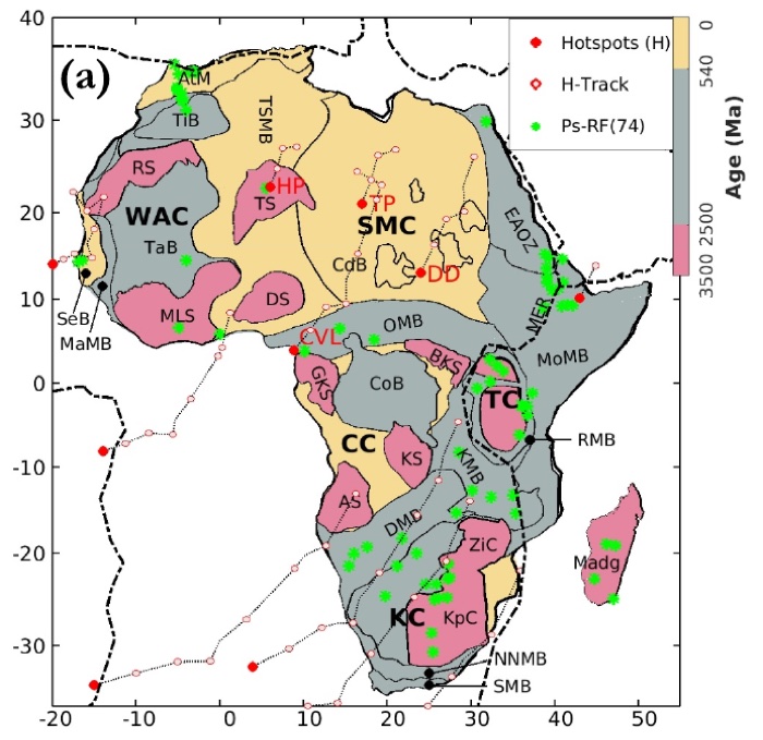
Continental Architecture
Probabilistic imaging of Africa's crust and lithosphere: the ADAMA database, a continent-wide collaboration joining seismology, geodesy and geodynamics, and the origins of intraplate stress and seismicity in West Africa.
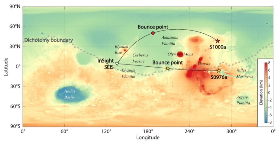
Oceanic & Planetary Lithosphere
From the sharp base of Earth's oceanic plates, explained by grain-boundary sliding, to crustal layering on Mars from the single InSight seismometer.
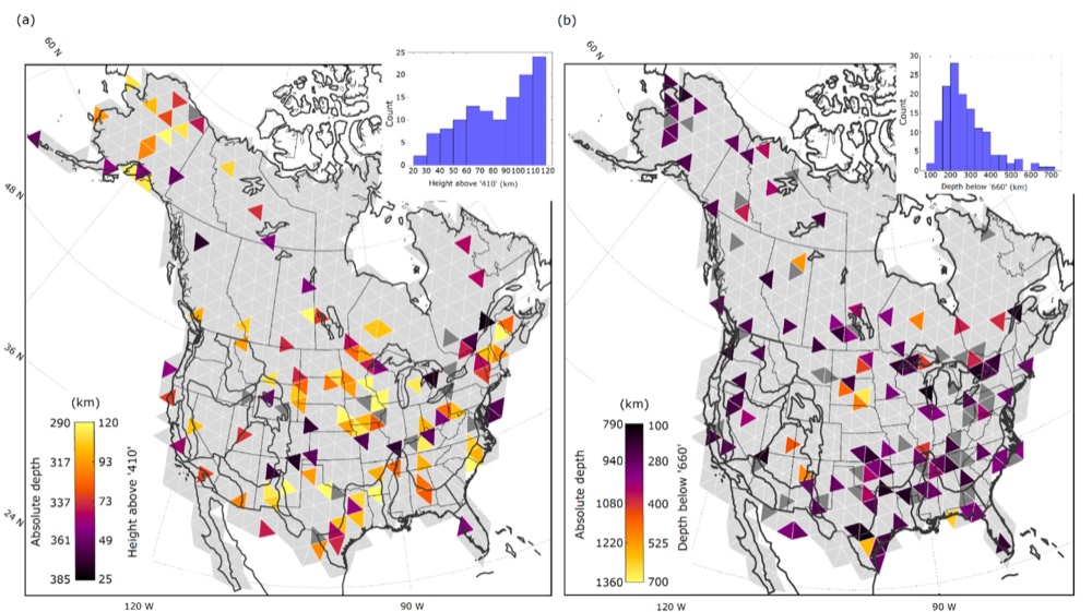
Mantle Stratification
Denoising tools that bring out faint layers from the upper mantle down to 800 km, including a stagnant layer of subducted oceanic crust beneath the Central Pacific.
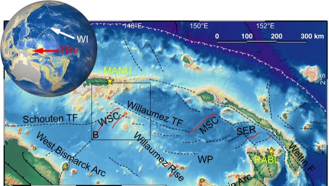
Ocean Soundscapes & Volcanism
Seismic and hydroacoustic records that catch submarine eruptions before satellites can, and interpretable AI that sorts eruption, earthquake and other signals.
Actively funded research

Imaging the oceanic plate
Uses seismology and machine learning to image the Pacific, the largest ocean basin, from existing seismic data on a sparsely instrumented, noisy seafloor. AI-cleaned signals feed uncertainty-aware 3-D images that test how ocean plates form and evolve, and what sets the boundary between the stiff lithosphere and the weak asthenosphere.
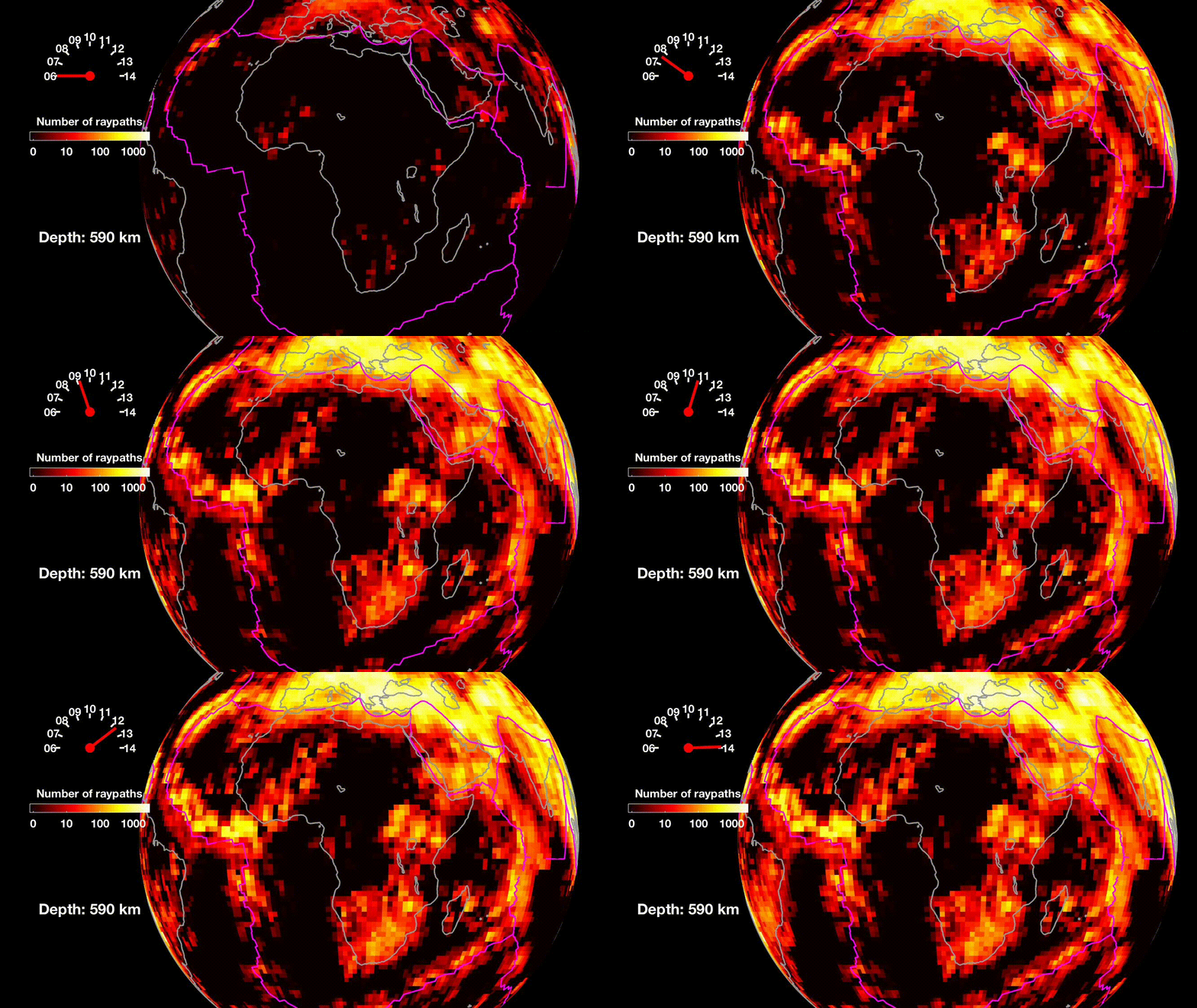
Africa's crust and mantle in motion
Unusually hot mantle lies beneath Africa and the East African Rift, the most active continental rift on Earth. With Virginia Tech and Colgate, this project builds open, high-resolution models of Africa's crust and mantle from AfricaArray seismic and GNSS data, and tests how strongly the plate is coupled to the convecting mantle below.
New research themes
The next five years extend the same methods to global scales and new worlds.
Every paper, grouped by research stream and method, with citation counts, open-access PDFs, code and data.
Drawn from the lab’s research statement and research plan. Updated November 2026.